
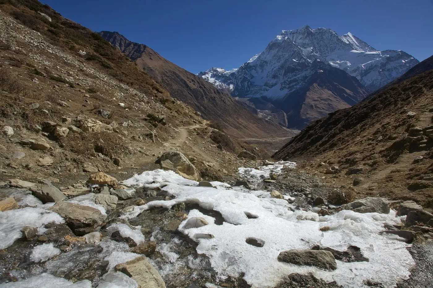
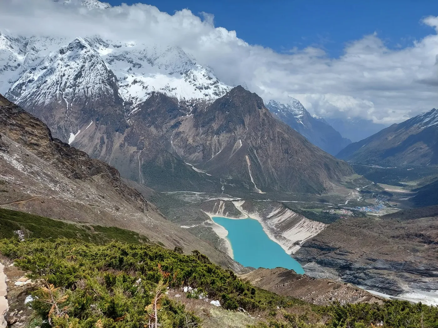
Cross the Larkya La Pass (5,160m) around the world's 8th highest peak, with a helicopter exit from Nepal's most rewarding restricted area.
The Manaslu Helicopter Return Trek is the Manaslu Circuit walked over eleven days from Machha Khola to Samdo, with the long descent out of the Larkya La replaced by a helicopter flight. You cross the pass at 5,160 metres and, instead of three more days of stone steps back down through Bimthang and Tilije, you lift out of the high valley and land in Kathmandu the same day. Thirteen days total, one of the world's great restricted-area treks, and none of the walk-out.
This page is the complete 2026 guide: what the trek costs and exactly what the price covers, why Manaslu costs more than Annapurna or Everest, the permit arithmetic that drives that difference, the full route with its altitude profile, and how the helicopter exit works on the day. For the Manaslu region viewed from the air without the trek, see Manaslu Helicopter Tour.
Manaslu has a shape problem. The Larkya La sits at 5,160 metres on the far north-eastern shoulder of the circuit, and the route out from the pass to the road at Dharapani is three days of steep, loose descent through Bimthang and Tilije. It is the least enjoyable stretch of an otherwise extraordinary trek — long days on eroded trail, with the best scenery already behind you at the pass.
The helicopter exit removes exactly that. One flight, roughly 25 minutes from the Samdo or Bimthang helipad to Kathmandu, replaces three walking days and two nights of the roughest lodges on the route. Where the standard Manaslu Circuit takes 14–16 days, this itinerary finishes in 13 with the pass still crossed on foot.
There is a second reason that is specific to Manaslu. Because it is a restricted area, every day you spend on the trail costs permit money — the Restricted Area Permit is charged per day beyond the first week. Walking out the long way is not only tiring; it is a second week of the most expensive permit in Nepal. On the arithmetic alone, the flight frequently costs less than the extra days it deletes.
This is the first honest question every prospective client asks, and the answer is permits, not helicopters. Manaslu is a restricted area, and the restricted-area system charges by the day in US dollars on top of the conservation fees that apply everywhere.
The three permits every Manaslu trekker must hold:
| Permit | 2026 cost | What it covers |
|---|---|---|
| Restricted Area Permit (RAP) | US$100 for the first 7 days, then US$15 per person per day (September–November) | The restricted area itself. Issued only through a registered agency |
| MCAP — Manaslu Conservation Area | NPR 3,000 (≈ US$19) | Manaslu Conservation Area entry |
| ACAP — Annapurna Conservation Area | NPR 3,000 (≈ US$19) | The final stretch out through the Annapurna Conservation Area |
| Chumnubri Rural Municipality fee | Collected locally | Municipal charge for the restricted corridor |
For a 14-day autumn trek that works out at roughly US$250 per person in permits alone: US$205 for the RAP (US$100 for seven days plus seven days at US$15), plus MCAP and ACAP at about US$19 each. In the low season from December to August the RAP drops to US$75 for the first week and US$10 per day after that.
Two further rules shape the cost. A licensed guide is mandatory for the restricted area, and the RAP is issued only to a registered trekking agency — you cannot buy it yourself at the counter in Kathmandu. Since March 2026 solo trekkers are permitted, which removed the old two-person minimum, but the guide requirement remains. Our price includes all of the above.
| Item | Included | Notes |
|---|---|---|
| All permits | Yes | RAP, MCAP, ACAP and the municipal fee — the US$250 permit block above |
| Licensed guide | Yes | Mandatory for the restricted area; English-speaking, wilderness first-aid trained |
| Porters | Yes | Shared between trekkers; main bags carried, you walk with a day pack |
| Teahouse lodging | Yes | Twin-share, twelve nights on the trail |
| All trail meals | Yes | Breakfast, lunch and dinner with tea |
| Helicopter exit | Yes | Samdo or Bimthang to Kathmandu, one lift |
| Kathmandu transfers | Yes | Out to Machha Khola and back from the helipad |
| Airport transfers | Yes | Both directions in Kathmandu |
| Down jacket and sleeping bag | Yes | Provided if required |
| Insurance | No | Mandatory — must cover helicopter evacuation above 5,200 m |
| Kathmandu hotels | No | We book these on request |
| Tips and personal spending | No | Budget US$200–280 for the trail |
The exit is usually flown from Samdo or Bimthang, depending on how the group is pacing and on the weather. Both sit at high altitude in open valley terrain with workable landing areas, and both allow a clean departure without the long climb to the pass itself.
On the morning of the flight the group is weighed with bags — payload limits at 4,000 metres and above are strict, and the bag allowance is 10 kg per person plus a day pack. The pilot briefs boarding, door discipline and rotor clearance, and the aircraft departs in the first clear window after sunrise. Flying time to Kathmandu is roughly 25 minutes, with a short fuel consideration on longer routings. Multiple lifts are used when the group exceeds the aircraft's high-altitude seat count, and you will know your slot the evening before.
Mountain flying concentrates in the morning for a reason: by late morning the valleys fill with convective cloud and the passes become unworkable. If the window closes, you fly the next morning and spend an extra night in the village — our cancellation and weather policy guide explains exactly what that does to your booking.
The walk follows the classic Manaslu Circuit from Machha Khola to Samdo, crossing the Larkya La on foot and flying out from the high side.
| Day | From → To | Altitude | What happens |
|---|---|---|---|
| 1 | Kathmandu → Machha Khola | 870 m | Long drive west from Kathmandu; the last stretch is rough road |
| 2 | Machha Khola → Jagat | 1,340 m | First day on the trail through subtropical river valley |
| 3 | Jagat → Deng | 1,860 m | Climb over a rocky ridge into the Budhi Gandaki gorge |
| 4 | Deng → Namrung | 2,630 m | Entry toward the Tibetan-influenced villages; a culturally significant day |
| 5 | Namrung → Shyala | 3,575 m | Six hours as the valley opens toward Manaslu's east face |
| 6 | Shyala → Sama Gaun | 3,530 m | Shorter day into Manaslu's main village; acclimatisation |
| 7 | Sama Gaun — acclimatisation | 3,530 m | Rest day, or walk to Birendra Lake and Manaslu Base Camp |
| 8 | Sama Gaun → Samdo | 3,860 m | Short, easy day through yak pastures toward the Tibetan border |
| 9 | Samdo — acclimatisation or walk | 4,750 m | Climb high and sleep low toward the Larkya La approaches |
| 10 | Samdo → Dharamsala (Larkya Phedi) | 4,460 m | A long, demanding day to the pass base |
| 11 | Larkya La (5,160 m) to helicopter exit | 5,160 m | The big day: cross the pass at dawn, then fly out to Kathmandu |
| 12 | Kathmandu | — | Contingency day for weather |
| 13 | Kathmandu | 1,300 m | Departure |
The altitude curve is the part that matters and the part that catches people out. You go from Sama Gaun at 3,530 metres to the pass at 5,160 metres in four days, with two acclimatisation stops built in for that reason. The itinerary is a schedule, not a guarantee: the Larkya La crossing is only attempted in good conditions, and the day before the pass is deliberately short.
This is a genuinely harder trek than Annapurna Base Camp, and we describe it plainly. The Manaslu Circuit is graded moderately strenuous: 5–7 hours of walking on most days, several long stair sections in the lower gorge, and one long, high pass crossing. Total distance is roughly 140 kilometres. You need trekking fitness — consecutive long days with a pack — rather than technical skill. There is no climbing and no glacier travel.
The two objective hazards are altitude and the pass itself. The Larkya La is a long day at high elevation, often starting before dawn to avoid afternoon weather on the descent. It requires a head for exposure on the moraine below the pass, but no ropes or technical equipment. If the pass is not flyable or crossable, the itinerary waits — every departure carries a buffer day.
The reason most guests choose the helicopter return is not the walk up. It is that the walk down is long, loose and unrewarding, and the aircraft removes it.
Flights are operated by CAAN-licensed commercial pilots on AS350 B3 series aircraft, the standard high-altitude helicopter in Nepal. The same machines fly the Everest region at 5,500 metres and above, so the Manaslu exits are well inside the proven envelope — the constraint is payload, not performance, which is why bag weight is enforced.
The guide carries wilderness first-aid training and a pulse oximeter, and every trekker's oxygen saturation is checked daily above 3,500 metres.
Two rules here are non-negotiable, and we will ask for proof. First, travel insurance that explicitly covers helicopter evacuation and trekking above 5,200 metres — the Larkya La is over 5,000 metres, and many standard policies stop at 3,000 or 4,600. Second, honest disclosure of any medical condition before departure.
If your current policy has a ceiling below 5,200 metres, evacuation cover can usually be arranged in Kathmandu before departure. Our helicopter rescue and evacuation guide explains the cost of a real evacuation by route and the altitude-limit trap that voids most claims.
| Season | Months | What to expect |
|---|---|---|
| Autumn (best) | September–November | Clearest air, most stable flight mornings, busiest lodges. RAP at its highest rate |
| Spring | March–May | Rhodendron on the lower trail, warming mornings, a small increase in flight-delay risk around pre-monsoon build-up |
| Winter | December–February | Quiet and cold; the Larkya La can be snowbound and the pass genuinely difficult. RAP rate drops |
| Monsoon | June–August | Leech season in the lower gorge, heavy cloud, narrow flight windows. Not recommended |
Manaslu sits in a rain-shadow valley, which makes it slightly drier than the Annapurna and Everest regions in the monsoon — but the pass and the exit flight are the limiting factors, not the valley, and we still do not recommend June to August.
The restricted-area permit can only be issued to a registered agency, so whoever you book with is legally the permit holder for your trek. That makes the agency's standing the thing you are actually buying. We are Enticing Himalayas Travel Pvt. Ltd., a Kathmandu-based operator in Thamel, and the licence number is on every document we issue. You can verify any Nepal trekking agency against the register maintained by the Department of Tourism before you pay a deposit.
Pack for a 5,000 metre pass with a lodge-based route: broken-in boots with ankle support, a four-season sleeping bag, down layer, hard shell, gloves and a warm hat for the pass, headlamp, water purification, and altitude medication as advised by your doctor. The single Manaslu-specific difference is the bag limit on the exit flight — 10 kg per person, with the rest of your luggage already sent ahead to Kathmandu.
| Item | Detail |
|---|---|
| Duration | 13 days Kathmandu to Kathmandu |
| Trekking days | 11 on the trail, 2 acclimatisation |
| Maximum altitude | 5,160 m at the Larkya La |
| Highest sleeping altitude | 4,460 m at Dharamsala |
| Group size | 2–10, licensed guide mandatory |
| Price | US$2,160 per person, shared flight |
| Permits | RAP, MCAP, ACAP and the municipal fee — all included |
| Best months | October–November and March–May |
| Difficulty | Moderately strenuous |
The three helicopter-return treks suit different travellers, and the choice is usually about crowds and permits rather than scenery. Manaslu is the quietest of the three and the only restricted area — you will meet a fraction of the trekkers you pass on the Annapurna or Everest trails. Annapurna is the easiest and cheapest, with the gentlest altitude curve. Everest is the most famous, the most expensive to reach, and the busiest.
On price, Manaslu sits in the middle once permits are counted: it is more expensive than Annapurna because of the RAP, and less expensive than a comparable Everest itinerary because the helicopter leg is shorter. What it buys is the sense of a place that is still genuinely remote.
If you are weighing the options, our Annapurna helicopter return trek and Everest Base Camp helicopter trek pages set out the same figures for the other two regions, so the three can be compared line by line.
A final honest note: if you want the Manaslu wilderness without crossing a 5,000 metre pass on foot, the Manaslu Helicopter Tour flies the same valley and lands near Manaslu Base Camp. It is a different product and a much lower price — and we will tell you plainly which one suits you.
Bookings run on a free-enquiry basis: send your dates and group size, we confirm the guide, permits and helicopter seat within about 12 hours, and a 20 percent deposit secures the departure. Autumn fills first — September and October departures are usually committed by mid-year.
The one decision that changes the price is group size. The helicopter is chartered per departure, so a group of four or five shares one lift economically; couples pay a small premium, and solo trekkers join existing departures where seats are open or pay the charter difference.
Contact us with your dates and we will tell you honestly whether Manaslu or Annapurna fits your schedule, your knees and your budget. If you would like to read more first, our helicopter charter guide covers every aircraft and route in Nepal, and the heli trekking guide explains how trek-up fly-back itineraries work across all three regions.
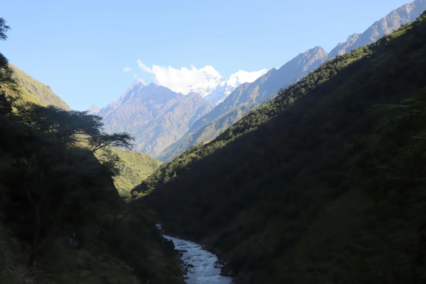
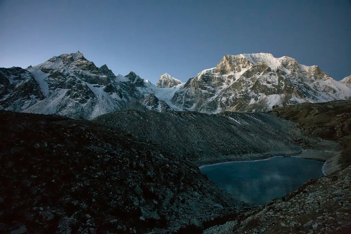
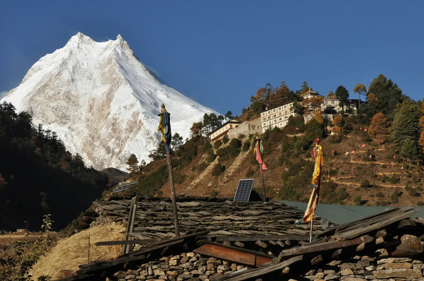
Restricted Area: Manaslu permits are issued only through a registered agency and a licensed guide is mandatory on the route. Since March 2026 solo trekkers can hold the permit; we group solo travellers with others on the same departure. Physical Fitness: This is a Grade 4 (Challenging) trek. Previous hiking experience and good cardiovascular fitness are highly recommended. Connectivity: Wi-Fi and electricity are available in lower villages for a small fee, but become unreliable as you go higher. ATM: There are no ATMs after Machha Khola. Carry enough Nepali Rupees for personal expenses.
Reviews from travellers who actually flew with us. Your review appears on this page once our office confirms your trip — usually within a day.